The last few posts have dealt with traffic issues, getting
to the eclipse path, and escaping from the clouds. Now, we pull these topics
all together and help you learn about how to read the weather in the days
leading up to, and including, eclipse day.
Links (with
some explanations):
(all links with eclipsophile in them are courtesy of Jay Anderson,
former meteorologist with Environment Canada)
http://eclipsophile.com/real-time-weather/ - this one is a quick links site, useful
for quick loading on eclipse day)
http://eclipsophile.com/eclipsewx/
- basically the same links as the above (and a few more), just with explanations
on how to use them. Good to study well before eclipse day.
From Jay, as posted to the eclipse chasers discussion
group: “I draw your attention to spotwx.com, which provides site-specific
graphical forecasts – click on a map or type in a community name (or lat/long)
and you will get access to up to a half-dozen Canadian and US computer models
for the site. You can easily compare the models to see how they agree ahead of
the magic day (up to 10 days out). For areal forecasts, you can look at
SkippySky or the College of DuPage (which has access to several models, great
satellite coverage, and is my favourite storm-chase resource). Both CoD and
spotwx offer ensemble forecast outputs; these are created by running a model
many times with slightly different starting conditions to give a range of
values for the outputs: temperature, dewpoint, cloud cover, wind and so on.”
Also, as you’re looking at cloud cover percentage
forecasts, such as the ones on http://www.skippysky.com.au/NorthAmerica/
and http://clearoutside.com/ (linked in the
above, under “numerical forecasts”)- that cloud cover percentage could mean different things (using
50% as an example):
1. That one side of the sky is completely clear, and the other side of the sky is overcast or mostly cloudy. If the side of the sky that is clear is where the sun will be at eclipse time, then you may be in good shape. Watch the timing of that forecast, though- it could mean that the overcast is moving in! Here are the approximate directions and altitudes of the sun, during totality, from different locations:
· Oregon/Idaho: 45-50 degrees up in the E/SE
· Wyoming/Nebraska: 55-60 degrees up in the S/SE
· Kansas/Missouri/Illinois: 60-65 degrees up in the South
· Tennessee/Georgia/North and South Carolina: 60 degrees up in the south
2. It could also mean that the clouds are covering the sky in all directions, but the clouds are likely small and scattered.
3. You may have scattered clouds in one area of the sky, but perhaps a thunderstorm or 2 in another part of the sky.
Articles (also
by Jay Anderson):
http://www.kasonline.org/primefocus/2017/PF0817.pdf
(weather article starts on page 14, but the other articles are interesting
too!)
Reading
satellite photos; identifying types of clouds:
See https://cimss.ssec.wisc.edu/satmet/modules/4_clouds/clouds-1.html#tag
on how to read satellite photos and learn about how different types of clouds
appear on them. See http://www.metoffice.gov.uk/learning/clouds/cloud-spotting-guide
for more on identifying clouds.
Please
note that most of the types of clouds on the metoffice link above will
moderately to significantly degrade the view if they are in front of the
Sun during totality. The exception to this is cirrus clouds-
interference from them may be slight- but ONLY if they are very thin and
wispy.
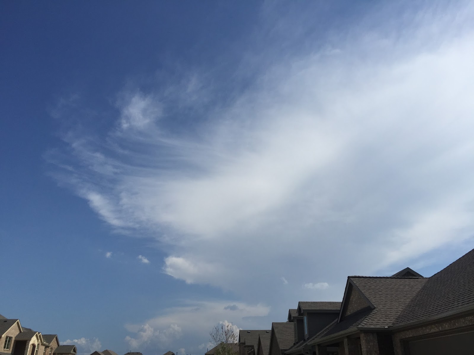
Of
special note: fair weather cumulus clouds have a good
chance to dissipate- partially or completely- before totality. These
clouds
look like popcorn, both from the ground and on the satellite photos. See
the image below, for example. These types of clouds need heat to form,
so the
temperature drop helps. This assumes that there aren’t too many of them,
and
that the clouds have not built up to the point that they are producing
precipitation. For example, I would think that most of the clouds in the
image below would dissipate, but not necessarily all of
them.
From Jay: “Typically, small convective clouds with
their “roots” on the ground will dissipate as the shadow approaches as the
ground cools far more than the atmosphere and their forcing is cut off.”

Of course, if the clouds have built up to point that they are causing precipitation, then you'll want to avoid those- they are not likely to dissipate. See this image:
There
is a concern about clouds forming as
the temperature drops- the most common is stratus, and fog. If stratus
or fog is in your area as the eclipse begins, but starts to go away
during the partial phases, it may reform as you get closer to totality.
This is especially
worrisome on the Oregon coast. Timing is important. From Jay: “Fog may
reform if it is only a short
time elapsed since it first dissipated (Baja 1991 but not Egypt 2006).
If an hour
or two has passed, the moisture is likely distributed through a greater
depth
of the atmosphere and will not reform in the duration of an eclipse. Of
course,
if a persistent fog bank lies nearby (offshore?), all bets are off.”
Remember that local topography can play a role in influencing
cloud cover. More from Jay: “Having said that, convective clouds of sufficient
depth or amount (broken cloudiness) may also spread out into a layer of
stratus, though I think
that is more likely in mountain environments (i.e. 1988 in the
Philippines, 1991 in Baja (see http://astropix.com/html/l_story/baja91.html
- courtesy of Jerry Lodriguss).” (do note that both of those mountain ranges are
surrounded by water- lots of moisture available.) A mountain range does not have to be very tall or large in size to produce local cloud cover.
Also, broad valleys can possibly reduce cloud cover, if you are on the leeward side of a mountain range. This is assuming that a frontal system or low pressure system is not over that area.
Speaking of that, you’re mainly trying to avoid cold and warm fronts, low
pressure systems, and storms. The mid and high level clouds associated with
weather systems are generally unaffected by eclipse cooling.
Smoke
If
you are under the smoke from a forest or grass fire, your view of the
eclipsed sun during totality will be compromised. The farther you are
away from the thickest smoke, the less the interference. If you are
under thick smoke, the corona may be seen as a pinkish color (it is
normally whitish). Of course, if you're that close to the thickest
smoke, then your safety may be a concern. See the "forest fires and smoke" links on the eclipsophile sites above.
Summary
The
key phrase is: be as flexible to moving as you can reasonably and
safely be. Take a look at these links and tips (and the last few posts
here.) The final decision on what you will do on eclipse day will come
on that day, or maybe the day before, but NOW is the time to discuss
with your group what you may possibly do in these scenarios (both long
range and short range).
Of course, I hope the entire totality path is clear and that writing this has been a complete waste of time!
No comments:
Post a Comment